Track lined with bluebells
Introduction
The photograph on this page of Track lined with bluebells by Emma M Baker as part of the Geograph project.
The Geograph project started in 2005 with the aim of publishing, organising and preserving representative images for every square kilometre of Great Britain, Ireland and the Isle of Man.

There are currently over 7.5m images from over 14,400 individuals and you can help contribute to the project by visiting https://www.geograph.org.uk
Track lined with bluebells
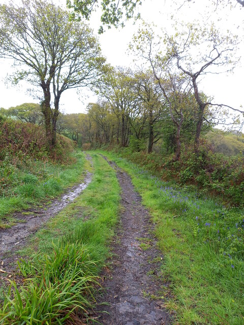
Image: © Emma M Baker Taken: 8 May 2021
Part of the "St Illtyd's walk" route: a 110km long distance walk starting at Pembrey country park and finishing at Margam country park. This short section of lane heads down to Cwm Edward and the River Morlais.
Images are licensed for reuse under creativecommons.org/licenses/by-sa/2.0
Image Location


Leaflet Map data © OpenStreetMap
Latitude
51.702224
Longitude
-4.11258