Bilston Community Centre
Introduction
The photograph on this page of Bilston Community Centre by Gordon Griffiths as part of the Geograph project.
The Geograph project started in 2005 with the aim of publishing, organising and preserving representative images for every square kilometre of Great Britain, Ireland and the Isle of Man.

There are currently over 7.5m images from over 14,400 individuals and you can help contribute to the project by visiting https://www.geograph.org.uk
Bilston Community Centre
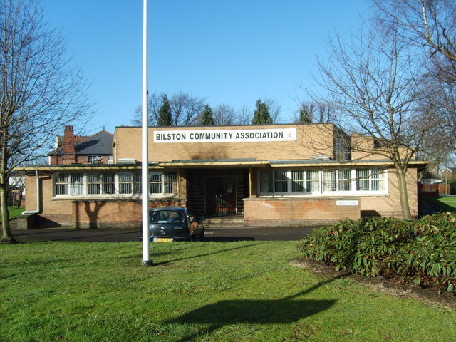
Image: © Gordon Griffiths Taken: 6 Feb 2008
The Community Centre in Prouds Lane is situated in the old Health Clinic.
Images are licensed for reuse under creativecommons.org/licenses/by-sa/2.0
Image Location
Latitude
52.567741
Longitude
-2.077265