Allotments off Field Lane, Aberford
Introduction
The photograph on this page of Allotments off Field Lane, Aberford by Humphrey Bolton as part of the Geograph project.
The Geograph project started in 2005 with the aim of publishing, organising and preserving representative images for every square kilometre of Great Britain, Ireland and the Isle of Man.

There are currently over 7.5m images from over 14,400 individuals and you can help contribute to the project by visiting https://www.geograph.org.uk
Allotments off Field Lane, Aberford
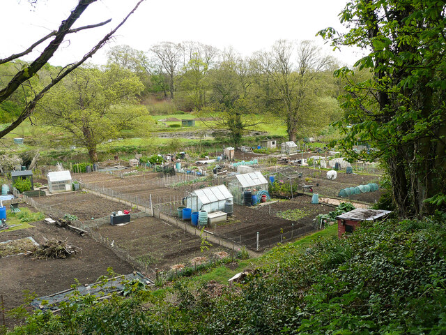
Image: © Humphrey Bolton Taken: 2 May 2021
Field Lane is at the top of a defensive bank, a continuation of Becca Banks. The flat land below was probably marshy in the prehistoric era, but the alluvial soil is no doubt good for gardening. Beyond the allotments there is a pond.
Images are licensed for reuse under creativecommons.org/licenses/by-sa/2.0
Image Location
Latitude
53.832936
Longitude
-1.340673