Houses on east side of A7 south of the Westlinton crossroads
Introduction
The photograph on this page of Houses on east side of A7 south of the Westlinton crossroads by Luke Shaw as part of the Geograph project.
The Geograph project started in 2005 with the aim of publishing, organising and preserving representative images for every square kilometre of Great Britain, Ireland and the Isle of Man.

There are currently over 7.5m images from over 14,400 individuals and you can help contribute to the project by visiting https://www.geograph.org.uk
Houses on east side of A7 south of the Westlinton crossroads
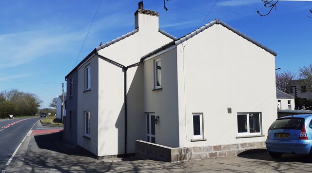
Image: © Luke Shaw Taken: 23 Apr 2021
There is an Ordnance Survey flush bracket benchmark Image on the road face of the nearest house at its near corner
Images are licensed for reuse under creativecommons.org/licenses/by-sa/2.0
Image Location
Latitude
54.971312
Longitude
-2.949746