ENE along Llanharry Road, Llanharry
Introduction
The photograph on this page of ENE along Llanharry Road, Llanharry by Jaggery as part of the Geograph project.
The Geograph project started in 2005 with the aim of publishing, organising and preserving representative images for every square kilometre of Great Britain, Ireland and the Isle of Man.

There are currently over 7.5m images from over 14,400 individuals and you can help contribute to the project by visiting https://www.geograph.org.uk
ENE along Llanharry Road, Llanharry
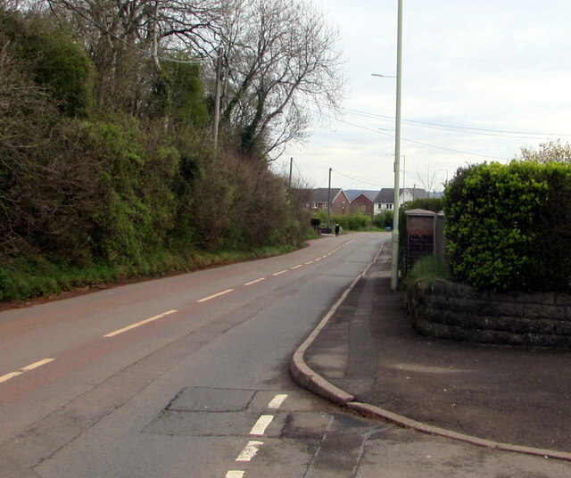
Image: © Jaggery Taken: 13 Apr 2021
Viewed past the Birchgrove junction in April 2021. Ahead for Llechau and Brynsadler.
Images are licensed for reuse under creativecommons.org/licenses/by-sa/2.0
Image Location
Latitude
51.515199
Longitude
-3.42566