Clare: The Globe, Callis Street
Introduction
The photograph on this page of Clare: The Globe, Callis Street by John Sutton as part of the Geograph project.
The Geograph project started in 2005 with the aim of publishing, organising and preserving representative images for every square kilometre of Great Britain, Ireland and the Isle of Man.

There are currently over 7.5m images from over 14,400 individuals and you can help contribute to the project by visiting https://www.geograph.org.uk
Clare: The Globe, Callis Street
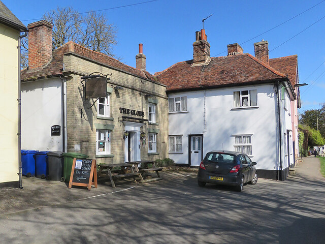
Image: © John Sutton Taken: 13 Apr 2021
Following the relaxation of some coronavirus regulations in England and Wales, public houses with beer gardens have been allowed to reopen. The blackboard reads "Please scan [the test-and-trace app] before entering". The 19th-century buff-brick frontage is misleading. The Globe is older and was built as a timber-framed house in the 18th century.
Images are licensed for reuse under creativecommons.org/licenses/by-sa/2.0
Image Location
Latitude
52.080652
Longitude
0.581059