Aunsby Road at the junction with Aunsby Lane
Introduction
The photograph on this page of Aunsby Road at the junction with Aunsby Lane by Tim Heaton as part of the Geograph project.
The Geograph project started in 2005 with the aim of publishing, organising and preserving representative images for every square kilometre of Great Britain, Ireland and the Isle of Man.

There are currently over 7.5m images from over 14,400 individuals and you can help contribute to the project by visiting https://www.geograph.org.uk
Aunsby Road at the junction with Aunsby Lane
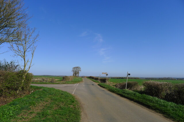
Image: © Tim Heaton Taken: 30 Mar 2021
In the south-west of the 'Southern Lincolnshire Edge' National Character Area; an: "Elevated arable escarpment [with] long, straight roads and tracks, often with wide verges." https://data.gov.uk/dataset/21104eeb-4a53-4e41-8ada-d2d442e416e0/national-character-areas-england
Images are licensed for reuse under creativecommons.org/licenses/by-sa/2.0
Image Location
Latitude
52.940664
Longitude
-0.453727