Moor Lane dropping to Tunstall
Introduction
The photograph on this page of Moor Lane dropping to Tunstall by Gordon Hatton as part of the Geograph project.
The Geograph project started in 2005 with the aim of publishing, organising and preserving representative images for every square kilometre of Great Britain, Ireland and the Isle of Man.

There are currently over 7.5m images from over 14,400 individuals and you can help contribute to the project by visiting https://www.geograph.org.uk
Moor Lane dropping to Tunstall
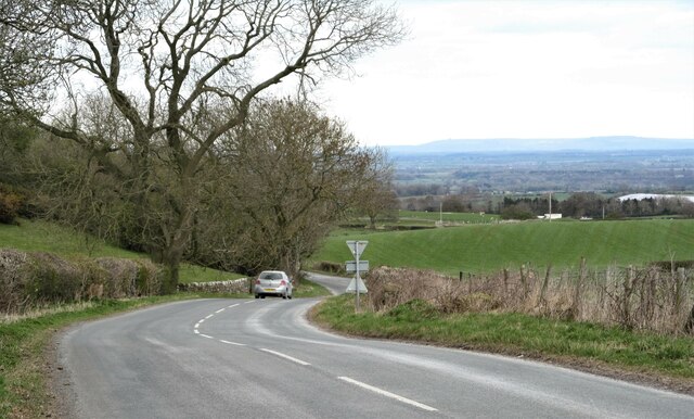
Image: © Gordon Hatton Taken: 7 Apr 2021
Minor road heading down towards Tunstall and providing any cyclist with a pleasant couple of miles of freewheeling as the road drops from around 570ft to 325ft at the bottom of the village. The view is across the Vale of Mowbray to the distant line of the Cleveland Hills.
Images are licensed for reuse under creativecommons.org/licenses/by-sa/2.0
Image Location


Leaflet Map data © OpenStreetMap
Latitude
54.348529
Longitude
-1.691671