The old line at Leadgate
Introduction
The photograph on this page of The old line at Leadgate by Robert Graham as part of the Geograph project.
The Geograph project started in 2005 with the aim of publishing, organising and preserving representative images for every square kilometre of Great Britain, Ireland and the Isle of Man.

There are currently over 7.5m images from over 14,400 individuals and you can help contribute to the project by visiting https://www.geograph.org.uk
The old line at Leadgate
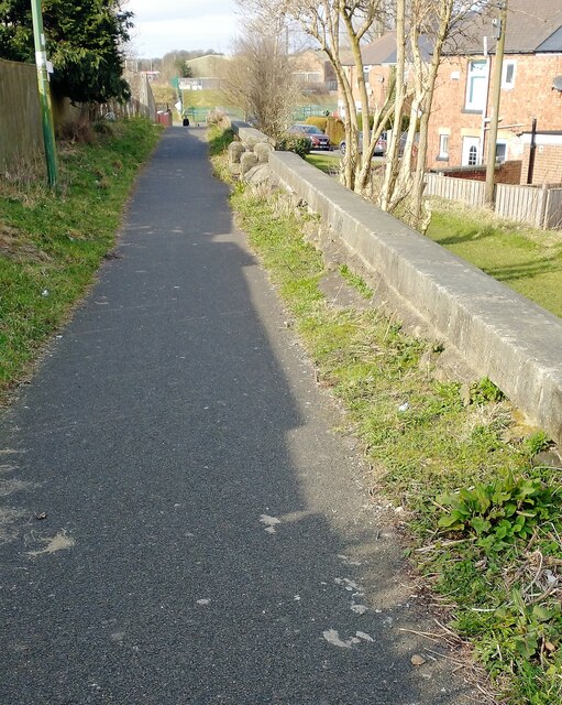
Image: © Robert Graham Taken: 18 Mar 2021
The former railway line just behind the main street in the village is now a footpath and cycle route. It forms part of the Consett and Sunderland Railway Path.
Images are licensed for reuse under creativecommons.org/licenses/by-sa/2.0
Image Location
Latitude
54.859667
Longitude
-1.808361