Bridleway 1553, Bewbush, Crawley
Introduction
The photograph on this page of Bridleway 1553, Bewbush, Crawley by Robin Webster as part of the Geograph project.
The Geograph project started in 2005 with the aim of publishing, organising and preserving representative images for every square kilometre of Great Britain, Ireland and the Isle of Man.

There are currently over 7.5m images from over 14,400 individuals and you can help contribute to the project by visiting https://www.geograph.org.uk
Bridleway 1553, Bewbush, Crawley
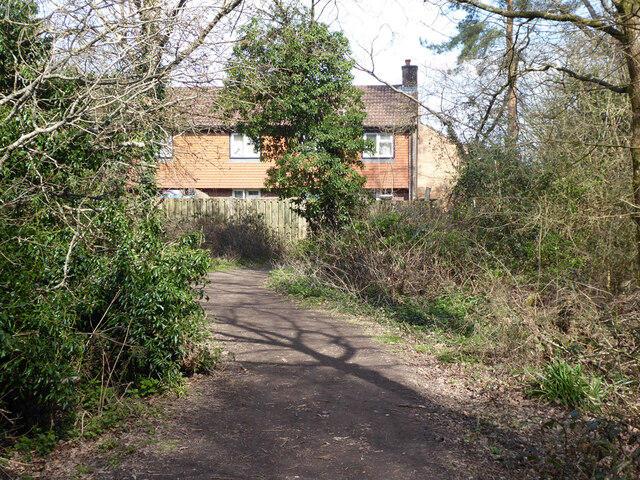
Image: © Robin Webster Taken: 21 Mar 2021
The backs of houses on Harmony Close are ahead, the path bends right at the fence.
Images are licensed for reuse under creativecommons.org/licenses/by-sa/2.0
Image Location
Latitude
51.107552
Longitude
-0.229983