Alton Road across St Peter's Drive, Worcester
Introduction
The photograph on this page of Alton Road across St Peter's Drive, Worcester by Chris Allen as part of the Geograph project.
The Geograph project started in 2005 with the aim of publishing, organising and preserving representative images for every square kilometre of Great Britain, Ireland and the Isle of Man.

There are currently over 7.5m images from over 14,400 individuals and you can help contribute to the project by visiting https://www.geograph.org.uk
Alton Road across St Peter's Drive, Worcester
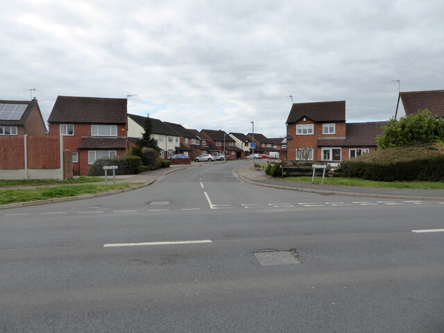
Image: © Chris Allen Taken: 21 Mar 2021
In the large St Peter The Great housing development. St Peter's Drive is the spine road that loops through the development from end to end and provides access to all the secondary branches and cul-de-sacs that constitute this development. It is analogous to Warndon Villages towards the other end of the Worcester bypass.
Images are licensed for reuse under creativecommons.org/licenses/by-sa/2.0
Image Location
Latitude
52.169149
Longitude
-2.202898