Pont Bodfel
Introduction
The photograph on this page of Pont Bodfel by Eric Jones as part of the Geograph project.
The Geograph project started in 2005 with the aim of publishing, organising and preserving representative images for every square kilometre of Great Britain, Ireland and the Isle of Man.

There are currently over 7.5m images from over 14,400 individuals and you can help contribute to the project by visiting https://www.geograph.org.uk
Pont Bodfel
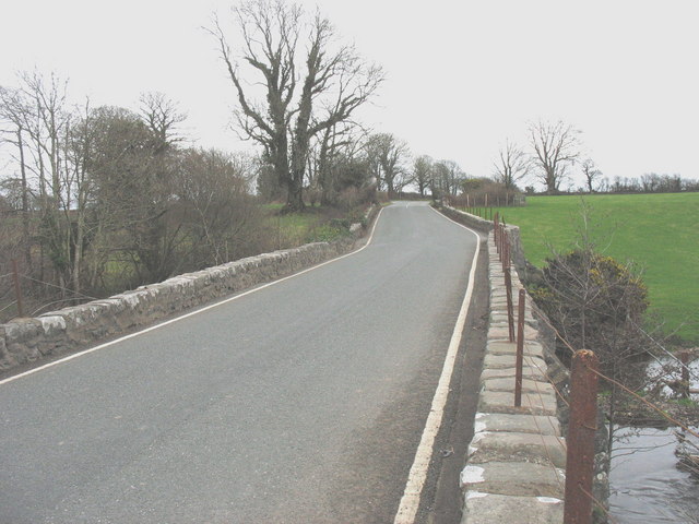
Image: © Eric Jones Taken: 30 Jan 2008
A three arched bridge over Afon Rhyd-hir. It was last rebuilt in 1805.
Images are licensed for reuse under creativecommons.org/licenses/by-sa/2.0
Image Location
Latitude
52.901058
Longitude
-4.464423