The Terrace, Front Street, Benton
Introduction
The photograph on this page of The Terrace, Front Street, Benton by Geoff Holland as part of the Geograph project.
The Geograph project started in 2005 with the aim of publishing, organising and preserving representative images for every square kilometre of Great Britain, Ireland and the Isle of Man.

There are currently over 7.5m images from over 14,400 individuals and you can help contribute to the project by visiting https://www.geograph.org.uk
The Terrace, Front Street, Benton
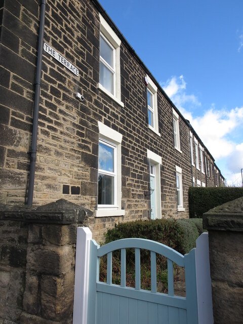
Image: © Geoff Holland Taken: 16 Mar 2021
The Terrace is a good example of late-Victorian/early-Edwardian development; a simple traditional built form which is inherently attractive. For a selection of detailed free to download walking routes in the area visit www.northtynesidewalks.co.uk
Images are licensed for reuse under creativecommons.org/licenses/by-sa/2.0
Image Location
Latitude
55.010666
Longitude
-1.57247