Muir of Ord war memorial - plaques
Introduction
The photograph on this page of Muir of Ord war memorial - plaques by Stephen Craven as part of the Geograph project.
The Geograph project started in 2005 with the aim of publishing, organising and preserving representative images for every square kilometre of Great Britain, Ireland and the Isle of Man.

There are currently over 7.5m images from over 14,400 individuals and you can help contribute to the project by visiting https://www.geograph.org.uk
Muir of Ord war memorial - plaques
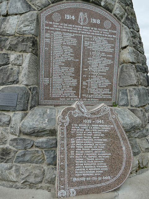
Image: © Stephen Craven Taken: 6 Jul 2019
The original plaque naming the men of Urray parish who were victims of the Great War is supplemented by one for the Second World War, in the shape of a harp (a device that features in the first plaque). See Image for context.
Images are licensed for reuse under creativecommons.org/licenses/by-sa/2.0
Image Location
Latitude
57.51755
Longitude
-4.462083