Path through Perry Wood, Worcester
Introduction
The photograph on this page of Path through Perry Wood, Worcester by Chris Allen as part of the Geograph project.
The Geograph project started in 2005 with the aim of publishing, organising and preserving representative images for every square kilometre of Great Britain, Ireland and the Isle of Man.

There are currently over 7.5m images from over 14,400 individuals and you can help contribute to the project by visiting https://www.geograph.org.uk
Path through Perry Wood, Worcester
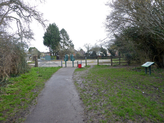
Image: © Chris Allen Taken: 11 Mar 2021
This leads across an area of hard standing to Liverpool Road in the Ronkswood estate.
Images are licensed for reuse under creativecommons.org/licenses/by-sa/2.0
Image Location
Latitude
52.19038
Longitude
-2.194949