Water in the Moat
Introduction
The photograph on this page of Water in the Moat by Des Blenkinsopp as part of the Geograph project.
The Geograph project started in 2005 with the aim of publishing, organising and preserving representative images for every square kilometre of Great Britain, Ireland and the Isle of Man.

There are currently over 7.5m images from over 14,400 individuals and you can help contribute to the project by visiting https://www.geograph.org.uk
Water in the Moat
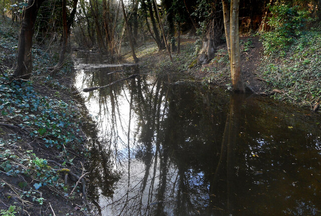
Image: © Des Blenkinsopp Taken: 25 Feb 2021
Marked rather inaccurately as "drain" on the map, this is part of Wallingford's Saxon moat which was dug in the reign of King Alfred to create one of the fortified towns of Wessex. A bit further along from my 2010 picture Image the moat has even more water in it this year.
Images are licensed for reuse under creativecommons.org/licenses/by-sa/2.0
Image Location
Latitude
51.603964
Longitude
-1.126094