Houses on New Croft at West Street junction
Introduction
The photograph on this page of Houses on New Croft at West Street junction by Roger Templeman as part of the Geograph project.
The Geograph project started in 2005 with the aim of publishing, organising and preserving representative images for every square kilometre of Great Britain, Ireland and the Isle of Man.

There are currently over 7.5m images from over 14,400 individuals and you can help contribute to the project by visiting https://www.geograph.org.uk
Houses on New Croft at West Street junction
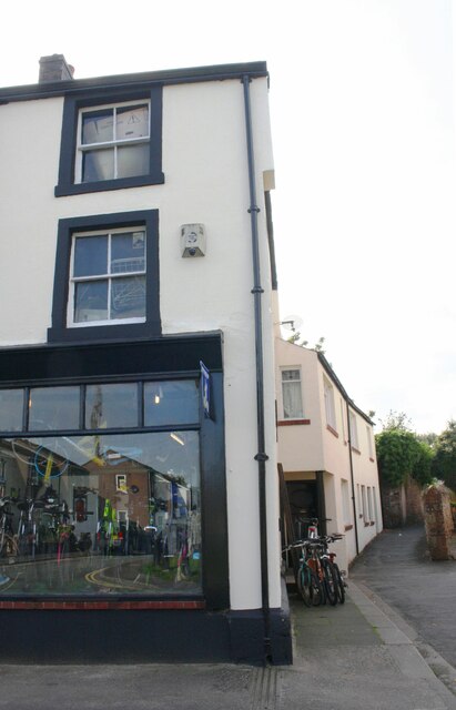
Image: © Roger Templeman Taken: 3 Aug 2019
Ordnance Survey records indicate that a benchmark levelled at 34.034m above Newlyn Datum on a house on the left hand side of New Croft was verified in 1969
Images are licensed for reuse under creativecommons.org/licenses/by-sa/2.0
Image Location


Leaflet Map data © OpenStreetMap
Latitude
54.823605
Longitude
-3.162628