Keysfield Road meets Cleveland Road, Paignton
Introduction
The photograph on this page of Keysfield Road meets Cleveland Road, Paignton by Derek Harper as part of the Geograph project.
The Geograph project started in 2005 with the aim of publishing, organising and preserving representative images for every square kilometre of Great Britain, Ireland and the Isle of Man.

There are currently over 7.5m images from over 14,400 individuals and you can help contribute to the project by visiting https://www.geograph.org.uk
Keysfield Road meets Cleveland Road, Paignton
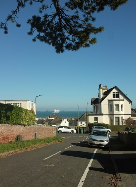
Image: © Derek Harper Taken: 28 Feb 2021
Between the houses is a view across Tor Bay, with a Tui cruise ship and the islets of Thatcher Rock and the Ore Stone.
Images are licensed for reuse under creativecommons.org/licenses/by-sa/2.0
Image Location
Latitude
50.430845
Longitude
-3.558553