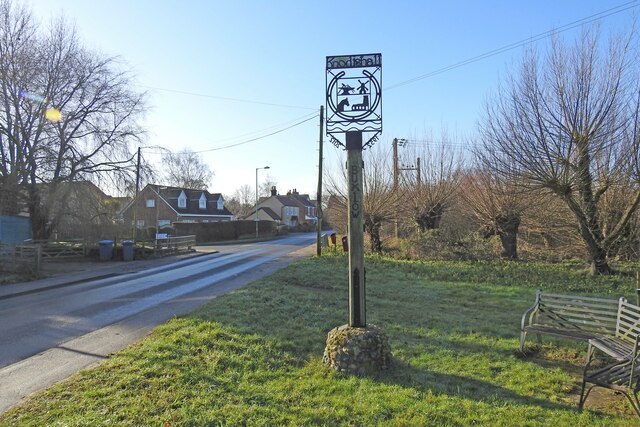
Knoddishall and Buxlow village sign
Introduction
The photograph on this page of Knoddishall and Buxlow village sign by Adrian S Pye as part of the Geograph project.
The Geograph project started in 2005 with the aim of publishing, organising and preserving representative images for every square kilometre of Great Britain, Ireland and the Isle of Man.
There are currently over 7.5m images from over 14,400 individuals and you can help contribute to the project by visiting https://www.geograph.org.uk

Image: © Adrian S Pye Taken: 4 Feb 2021
The sign is primarily for the parish of Knoddishall but it hasn’t forgotten the hamlet of Coldfair Green or the parish of Buxlow which no longer has a church and has become very much a part of Knoddishall after 1865. The sign depicts a horseshoe in the centre of which is the windmill, which once stood in the centre of the village in Mill Road. A blacksmith’s anvil, complete with hammer and tongs. The church of St Lawrence which is located in the northwest corner of the parish and a donkey representing Knodishall Whin The other side includes Coldfair https://www.geograph.org.uk/photo/4166644

