Cycle/walk path through Meikle Earnock, Hamilton
Introduction
The photograph on this page of Cycle/walk path through Meikle Earnock, Hamilton by wrobison as part of the Geograph project.
The Geograph project started in 2005 with the aim of publishing, organising and preserving representative images for every square kilometre of Great Britain, Ireland and the Isle of Man.

There are currently over 7.5m images from over 14,400 individuals and you can help contribute to the project by visiting https://www.geograph.org.uk
Cycle/walk path through Meikle Earnock, Hamilton
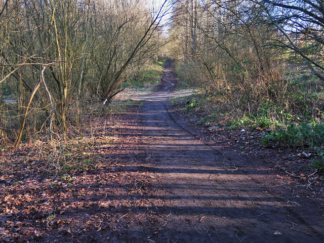
Image: © wrobison Taken: 22 Feb 2021
The path follows the route of the old Hamilton to Strathaven railway line. The line closed in 1953 when all the collieries along the route had closed
Images are licensed for reuse under creativecommons.org/licenses/by-sa/2.0
Image Location
Latitude
55.758948
Longitude
-4.068424