Ingleborough Mews, Pennine Road
Introduction
The photograph on this page of Ingleborough Mews, Pennine Road by Helen Iwanczuk as part of the Geograph project.
The Geograph project started in 2005 with the aim of publishing, organising and preserving representative images for every square kilometre of Great Britain, Ireland and the Isle of Man.

There are currently over 7.5m images from over 14,400 individuals and you can help contribute to the project by visiting https://www.geograph.org.uk
Ingleborough Mews, Pennine Road
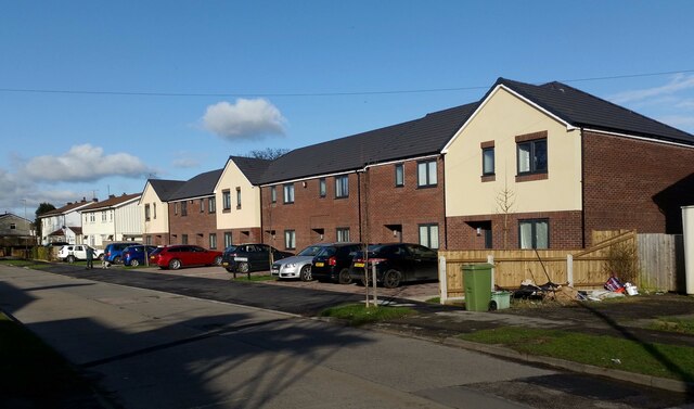
Image: © Helen Iwanczuk Taken: 22 Feb 2021
A new housing development, has been built on the former Holy Name Hall site. https://www.geograph.org.uk/photo/6430253
Images are licensed for reuse under creativecommons.org/licenses/by-sa/2.0
Image Location
Latitude
51.908315
Longitude
-2.049523