Laburnum Lane, Hinxhill Park
Introduction
The photograph on this page of Laburnum Lane, Hinxhill Park by John Baker as part of the Geograph project.
The Geograph project started in 2005 with the aim of publishing, organising and preserving representative images for every square kilometre of Great Britain, Ireland and the Isle of Man.

There are currently over 7.5m images from over 14,400 individuals and you can help contribute to the project by visiting https://www.geograph.org.uk
Laburnum Lane, Hinxhill Park
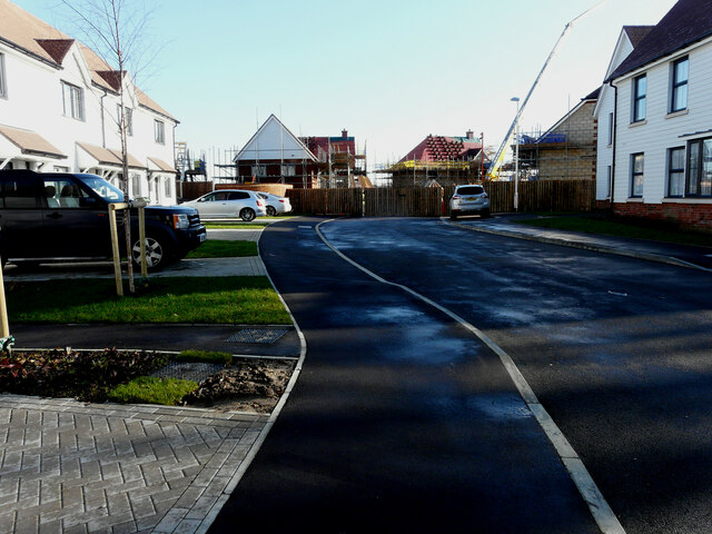
Image: © John Baker Taken: 25 Jan 2021
Planning permission has been granted by Ashford Borough Council under application number 16/01722/AS for “full planning application for a new link road to the rear of the William Harvey Hospital from the A20 and 192 dwellings together with associated open space, play equipment, landscaping, drainage, infrastructure and earthworks”. This section of the road lies round the corner, at the far end of Image There was patchy black ice on the road surface and pavements.
Images are licensed for reuse under creativecommons.org/licenses/by-sa/2.0
Image Location
Latitude
51.137499
Longitude
0.918245