Farm track, Watersfield
Introduction
The photograph on this page of Farm track, Watersfield by Robin Webster as part of the Geograph project.
The Geograph project started in 2005 with the aim of publishing, organising and preserving representative images for every square kilometre of Great Britain, Ireland and the Isle of Man.

There are currently over 7.5m images from over 14,400 individuals and you can help contribute to the project by visiting https://www.geograph.org.uk
Farm track, Watersfield
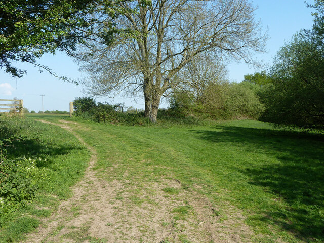
Image: © Robin Webster Taken: 21 Apr 2011
Up to this point, footpath 2426, but this continues straight on at the right through the margin of the wood.
Images are licensed for reuse under creativecommons.org/licenses/by-sa/2.0
Image Location
Latitude
50.93269
Longitude
-0.553846