White Hart Lane, Collingham
Introduction
The photograph on this page of White Hart Lane, Collingham by Jonathan Thacker as part of the Geograph project.
The Geograph project started in 2005 with the aim of publishing, organising and preserving representative images for every square kilometre of Great Britain, Ireland and the Isle of Man.

There are currently over 7.5m images from over 14,400 individuals and you can help contribute to the project by visiting https://www.geograph.org.uk
White Hart Lane, Collingham
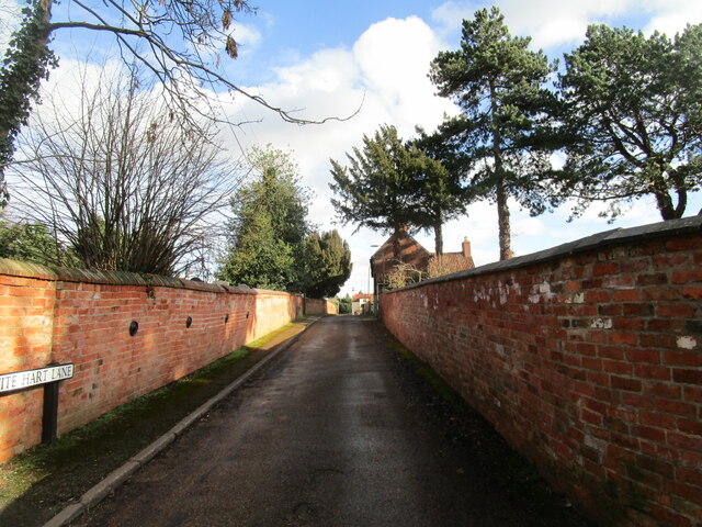
Image: © Jonathan Thacker Taken: 18 Feb 2021
Until modern expansion Collingham's street pattern was one of two greens linked by parallel roads (High Street and Low Street) with short lanes, of which White Hart Lane is one, running between the two.
Images are licensed for reuse under creativecommons.org/licenses/by-sa/2.0
Image Location
Latitude
53.148326
Longitude
-0.760588