Public Footpath near Billy Mill, North Shields
Introduction
The photograph on this page of Public Footpath near Billy Mill, North Shields by Geoff Holland as part of the Geograph project.
The Geograph project started in 2005 with the aim of publishing, organising and preserving representative images for every square kilometre of Great Britain, Ireland and the Isle of Man.

There are currently over 7.5m images from over 14,400 individuals and you can help contribute to the project by visiting https://www.geograph.org.uk
Public Footpath near Billy Mill, North Shields
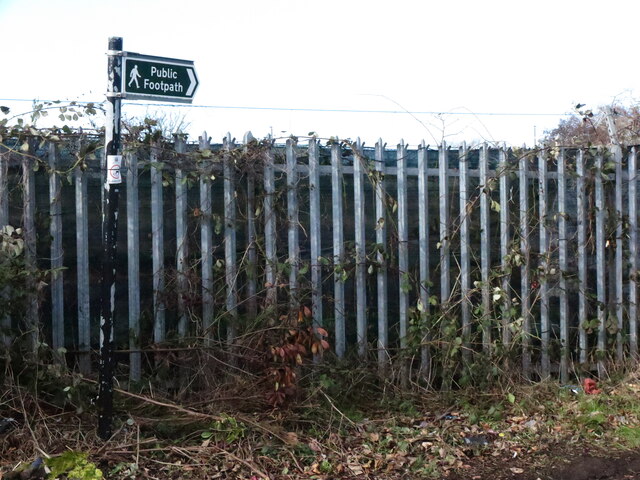
Image: © Geoff Holland Taken: 16 Feb 2021
This public footpath follows the western boundary of Preston Cemetery and leads to the A1058 (Coast Road). It also gives access to the adjacent Allotments. For a selection of detailed free to download walking routes in the area visit www.northtynesidewalks.co.uk
Images are licensed for reuse under creativecommons.org/licenses/by-sa/2.0
Image Location
Latitude
55.015642
Longitude
-1.467014