Etna Road
Introduction
The photograph on this page of Etna Road by Ian Capper as part of the Geograph project.
The Geograph project started in 2005 with the aim of publishing, organising and preserving representative images for every square kilometre of Great Britain, Ireland and the Isle of Man.

There are currently over 7.5m images from over 14,400 individuals and you can help contribute to the project by visiting https://www.geograph.org.uk
Etna Road
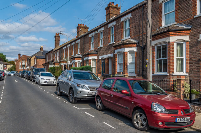
Image: © Ian Capper Taken: 11 Sep 2020
A road of terraced housing dating from the turn of the 19th/20th Centuries. In the background is part of the Jubilee Centre in Catherine Street, a community centre housed in the former Garden Fields School. The school had been located there from when built in 1896 until it moved to Townsend Drive in the 1970s.
Images are licensed for reuse under creativecommons.org/licenses/by-sa/2.0
Image Location
Latitude
51.755672
Longitude
-0.339198