Play area, Tornagrain
Introduction
The photograph on this page of Play area, Tornagrain by Craig Wallace as part of the Geograph project.
The Geograph project started in 2005 with the aim of publishing, organising and preserving representative images for every square kilometre of Great Britain, Ireland and the Isle of Man.

There are currently over 7.5m images from over 14,400 individuals and you can help contribute to the project by visiting https://www.geograph.org.uk
Play area, Tornagrain
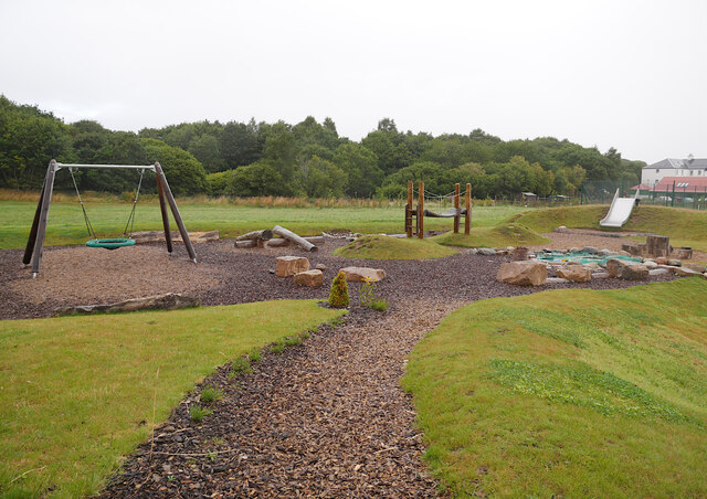
Image: © Craig Wallace Taken: 22 Aug 2020
Off Hillhead Road. No one using it, on this somewhat wet morning.
Images are licensed for reuse under creativecommons.org/licenses/by-sa/2.0
Image Location
Latitude
57.525818
Longitude
-4.038894