Maple No. 2 Mill and Groby Street, Hathershaw
Introduction
The photograph on this page of Maple No. 2 Mill and Groby Street, Hathershaw by Chris Allen as part of the Geograph project.
The Geograph project started in 2005 with the aim of publishing, organising and preserving representative images for every square kilometre of Great Britain, Ireland and the Isle of Man.

There are currently over 7.5m images from over 14,400 individuals and you can help contribute to the project by visiting https://www.geograph.org.uk
Maple No. 2 Mill and Groby Street, Hathershaw
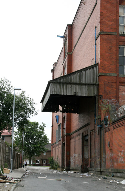
Image: © Chris Allen Taken: 6 Aug 2006
This former cotton spinning mill was largely destroyed by fire in 2009 and the site has since been cleared.
Images are licensed for reuse under creativecommons.org/licenses/by-sa/2.0
Image Location
Latitude
53.525958
Longitude
-2.104949