Riverside Walk near to Swakeley?s Drive
Introduction
The photograph on this page of Riverside Walk near to Swakeley?s Drive by Peter S as part of the Geograph project.
The Geograph project started in 2005 with the aim of publishing, organising and preserving representative images for every square kilometre of Great Britain, Ireland and the Isle of Man.

There are currently over 7.5m images from over 14,400 individuals and you can help contribute to the project by visiting https://www.geograph.org.uk
Riverside Walk near to Swakeley?s Drive
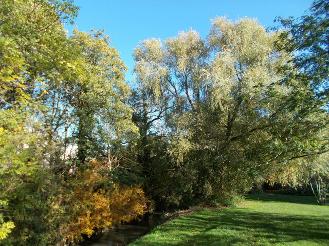
Image: © Peter S Taken: 22 Oct 2020
The Celandine Route generally follows the course of the River Pinn between Pinner and Cowley though not always as closely as this. Here the route passes through a park between two roads with the river running alongside.
Images are licensed for reuse under creativecommons.org/licenses/by-sa/2.0
Image Location
Latitude
51.561271
Longitude
-0.455659