St. Mark's Lane, Newark
Introduction
The photograph on this page of St. Mark's Lane, Newark by Jonathan Thacker as part of the Geograph project.
The Geograph project started in 2005 with the aim of publishing, organising and preserving representative images for every square kilometre of Great Britain, Ireland and the Isle of Man.

There are currently over 7.5m images from over 14,400 individuals and you can help contribute to the project by visiting https://www.geograph.org.uk
St. Mark's Lane, Newark
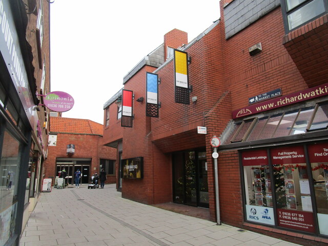
Image: © Jonathan Thacker Taken: 30 Dec 2020
Redeveloped in the late 1970s and providing a pedestrian route from Lombard Street to the Market Place.
Images are licensed for reuse under creativecommons.org/licenses/by-sa/2.0
Image Location
Latitude
53.075131
Longitude
-0.811503