Railway Maintenance Access Point, Stoke Gifford
Introduction
The photograph on this page of Railway Maintenance Access Point, Stoke Gifford by Derek Harper as part of the Geograph project.
The Geograph project started in 2005 with the aim of publishing, organising and preserving representative images for every square kilometre of Great Britain, Ireland and the Isle of Man.

There are currently over 7.5m images from over 14,400 individuals and you can help contribute to the project by visiting https://www.geograph.org.uk
Railway Maintenance Access Point, Stoke Gifford
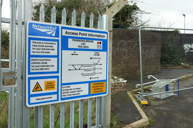
Image: © Derek Harper Taken: 3 Mar 2020
The corresponding notice to Image at the southern end of Pearsons Brick Yard Bridge; this is at the northern end, while at the southern end the site is named "Pugsley".
Images are licensed for reuse under creativecommons.org/licenses/by-sa/2.0
Image Location
Latitude
51.514017
Longitude
-2.533865