The Woolpack, Iwade
Introduction
The photograph on this page of The Woolpack, Iwade by Richard Dorrell as part of the Geograph project.
The Geograph project started in 2005 with the aim of publishing, organising and preserving representative images for every square kilometre of Great Britain, Ireland and the Isle of Man.

There are currently over 7.5m images from over 14,400 individuals and you can help contribute to the project by visiting https://www.geograph.org.uk
The Woolpack, Iwade
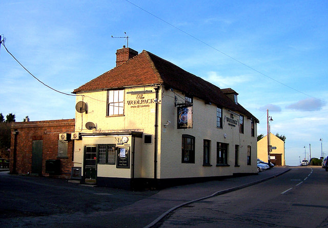
Image: © Richard Dorrell Taken: 27 Jan 2008
Now standing in a peaceful village street, but at one time (before the bypass was built) heavy traffic to the Isle of Sheppey roared up this road.
Images are licensed for reuse under creativecommons.org/licenses/by-sa/2.0
Image Location
Latitude
51.378427
Longitude
0.729327