Peterborough Close, Worcester
Introduction
The photograph on this page of Peterborough Close, Worcester by Chris Allen as part of the Geograph project.
The Geograph project started in 2005 with the aim of publishing, organising and preserving representative images for every square kilometre of Great Britain, Ireland and the Isle of Man.

There are currently over 7.5m images from over 14,400 individuals and you can help contribute to the project by visiting https://www.geograph.org.uk
Peterborough Close, Worcester
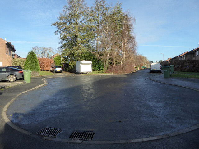
Image: © Chris Allen Taken: 1 Dec 2020
The blind end of this street in the Ronkswood estate where all the street are apparently named after cities. I had just emerged from a path in Perry Wood. Until you start exploring on foot you seriously underestimate just how many streets and paths can be crammed into a kilometre square.
Images are licensed for reuse under creativecommons.org/licenses/by-sa/2.0
Image Location
Latitude
52.191638
Longitude
-2.195247