Watford: Ebury Way
Introduction
The photograph on this page of Watford: Ebury Way by Nigel Cox as part of the Geograph project.
The Geograph project started in 2005 with the aim of publishing, organising and preserving representative images for every square kilometre of Great Britain, Ireland and the Isle of Man.

There are currently over 7.5m images from over 14,400 individuals and you can help contribute to the project by visiting https://www.geograph.org.uk
Watford: Ebury Way
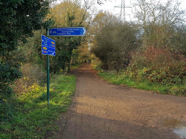
Image: © Nigel Cox Taken: 26 Nov 2020
This is a same view repeat of this image Image] from 2008. I am pleased to say that the sign with the wildly over-optimistic distance to Cassiobury Park has now been replaced with one that is more realistic!
Images are licensed for reuse under creativecommons.org/licenses/by-sa/2.0
Image Location
Latitude
51.640871
Longitude
-0.42333