Kinson: Kinson Park Road
Introduction
The photograph on this page of Kinson: Kinson Park Road by Chris Downer as part of the Geograph project.
The Geograph project started in 2005 with the aim of publishing, organising and preserving representative images for every square kilometre of Great Britain, Ireland and the Isle of Man.

There are currently over 7.5m images from over 14,400 individuals and you can help contribute to the project by visiting https://www.geograph.org.uk
Kinson: Kinson Park Road
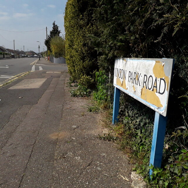
Image: © Chris Downer Taken: 12 Apr 2020
A road of reasonable length with bungalows on each side, more-or-less straight apart from the eastern segment which turns to meet New Road, providing a popular cut-through from Kinson and East Howe towards Ferndown. The sign is of a design that became prevalent in Bournemouth around 1990 and was in use for most of that decade. Many are starting to look a bit shabby now, with the blue border fading and the white surface peeling - this one is a good example of both symptoms. This is photo no.231 of a series of 453 in my coronavirus lockdown walking project: See https://www.geograph.org.uk/article/My-2020-Coronavirus-Lockdown-walking-project for the complete set of photos.
Images are licensed for reuse under creativecommons.org/licenses/by-sa/2.0
Image Location
Latitude
50.771543
Longitude
-1.891036