The industrial landscape around the M49
Introduction
The photograph on this page of The industrial landscape around the M49 by Neil Owen as part of the Geograph project.
The Geograph project started in 2005 with the aim of publishing, organising and preserving representative images for every square kilometre of Great Britain, Ireland and the Isle of Man.

There are currently over 7.5m images from over 14,400 individuals and you can help contribute to the project by visiting https://www.geograph.org.uk
The industrial landscape around the M49
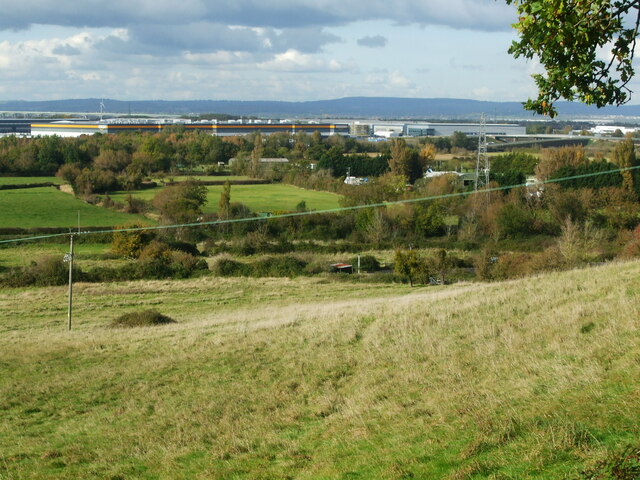
Image: © Neil Owen Taken: 15 Oct 2020
Viewed from Spaniorum Hill.
Images are licensed for reuse under creativecommons.org/licenses/by-sa/2.0
Image Location
Latitude
51.540102
Longitude
-2.639862