West Sherford Farm
Introduction
The photograph on this page of West Sherford Farm by Gwyn Jones as part of the Geograph project.
The Geograph project started in 2005 with the aim of publishing, organising and preserving representative images for every square kilometre of Great Britain, Ireland and the Isle of Man.

There are currently over 7.5m images from over 14,400 individuals and you can help contribute to the project by visiting https://www.geograph.org.uk
West Sherford Farm
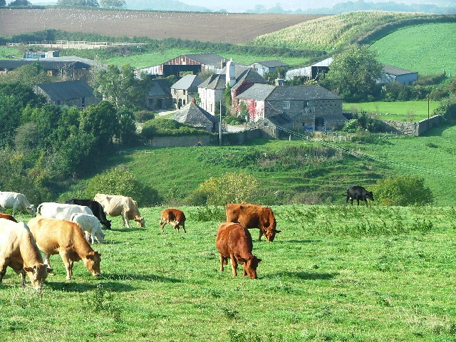
Image: © Gwyn Jones Taken: 15 Oct 2005
Lying to the north east of Elburton, this farm lies at the southern end of the Sherford Valley, currently (2005) the subject of planning permissions for a 'new town' development.
Images are licensed for reuse under creativecommons.org/licenses/by-sa/2.0
Image Location


Leaflet Map data © OpenStreetMap
Latitude
50.363371
Longitude
-4.047054