Williams Field Lane, Monmouth
Introduction
The photograph on this page of Williams Field Lane, Monmouth by Jaggery as part of the Geograph project.
The Geograph project started in 2005 with the aim of publishing, organising and preserving representative images for every square kilometre of Great Britain, Ireland and the Isle of Man.

There are currently over 7.5m images from over 14,400 individuals and you can help contribute to the project by visiting https://www.geograph.org.uk
Williams Field Lane, Monmouth
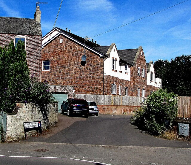
Image: © Jaggery Taken: 12 Jul 2020
Cul-de-sac viewed across Wonastow Road in July 2020. The bilingual sign on the left shows that Williams Field Lane is Lôn Maes William in Welsh. The arrow on the sign on the right points towards Drybridge Veterinary Clinic.
Images are licensed for reuse under creativecommons.org/licenses/by-sa/2.0
Image Location
Latitude
51.808989
Longitude
-2.724745