Approaching the crossroads at the Morrison Road Ends
Introduction
The photograph on this page of Approaching the crossroads at the Morrison Road Ends by Robert Graham as part of the Geograph project.
The Geograph project started in 2005 with the aim of publishing, organising and preserving representative images for every square kilometre of Great Britain, Ireland and the Isle of Man.

There are currently over 7.5m images from over 14,400 individuals and you can help contribute to the project by visiting https://www.geograph.org.uk
Approaching the crossroads at the Morrison Road Ends
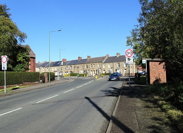
Image: © Robert Graham Taken: 29 Sep 2020
The crossroads takes its local name from the Morrison pit which once stood near here. View is looking along Lanchester Road. The stone terrace of Durham Road dates from late Victorian & Edwardian times.
Images are licensed for reuse under creativecommons.org/licenses/by-sa/2.0
Image Location
Latitude
54.855929
Longitude
-1.732209