High Street, Mayfield, East Sussex
Introduction
The photograph on this page of High Street, Mayfield, East Sussex by David Yap as part of the Geograph project.
The Geograph project started in 2005 with the aim of publishing, organising and preserving representative images for every square kilometre of Great Britain, Ireland and the Isle of Man.

There are currently over 7.5m images from over 14,400 individuals and you can help contribute to the project by visiting https://www.geograph.org.uk
High Street, Mayfield, East Sussex
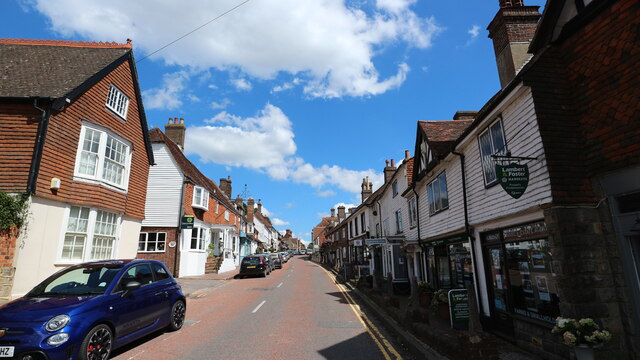
Image: © David Yap Taken: 31 Jul 2018
Beautiful High Street. At the far end (or beginning depending which way one arrives) is Mayfield Catholic boarding school or The Old Palace in Google Map. Online information on www.visitsoutheastengland.com it was originally - circa late 900s -"...Mayfield Palace near the church. It was one of the great residences of the medieval Archbishops of Canterbury. It ceased to be an ecclesiastical residence and was sold off in 1567."
Images are licensed for reuse under creativecommons.org/licenses/by-sa/2.0
Image Location
Latitude
51.020231
Longitude
0.260045