Near the top of Brooms Lane
Introduction
The photograph on this page of Near the top of Brooms Lane by Robert Graham as part of the Geograph project.
The Geograph project started in 2005 with the aim of publishing, organising and preserving representative images for every square kilometre of Great Britain, Ireland and the Isle of Man.

There are currently over 7.5m images from over 14,400 individuals and you can help contribute to the project by visiting https://www.geograph.org.uk
Near the top of Brooms Lane
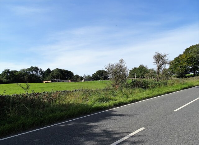
Image: © Robert Graham Taken: 14 Sep 2020
This country road leads uphill from Stoney Heap to the crossroads at The Jolly Drovers pub at Leadgate, through some pleasant farming countryside. The buildings across the field belong to High Brooms Farm.
Images are licensed for reuse under creativecommons.org/licenses/by-sa/2.0
Image Location
Latitude
54.860447
Longitude
-1.790442