View of Upper Solva from the Gribin (2)
Introduction
The photograph on this page of View of Upper Solva from the Gribin (2) by Jeff Gogarty as part of the Geograph project.
The Geograph project started in 2005 with the aim of publishing, organising and preserving representative images for every square kilometre of Great Britain, Ireland and the Isle of Man.

There are currently over 7.5m images from over 14,400 individuals and you can help contribute to the project by visiting https://www.geograph.org.uk
View of Upper Solva from the Gribin (2)
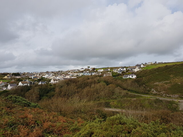
Image: © Jeff Gogarty Taken: 23 Sep 2020
The road from Lower Solva to Upper Solva can be seen on the right. Just about all the houses have a view over St Bride's Bay.
Images are licensed for reuse under creativecommons.org/licenses/by-sa/2.0
Image Location
Latitude
51.874082
Longitude
-5.195639