Entrance to Low Ham
Introduction
The photograph on this page of Entrance to Low Ham by Neil Owen as part of the Geograph project.
The Geograph project started in 2005 with the aim of publishing, organising and preserving representative images for every square kilometre of Great Britain, Ireland and the Isle of Man.

There are currently over 7.5m images from over 14,400 individuals and you can help contribute to the project by visiting https://www.geograph.org.uk
Entrance to Low Ham
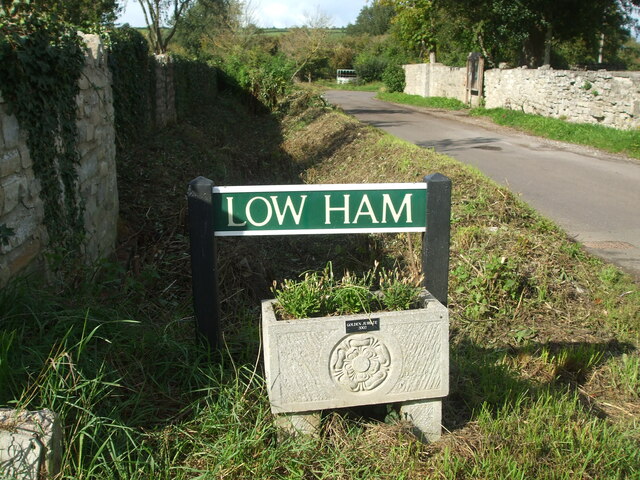
Image: © Neil Owen Taken: 6 Sep 2020
Although looking like a street name sign, the road is actually Morton's Lane. The planter is a commemorative feature of the Golden Jubilee of 2002.
Images are licensed for reuse under creativecommons.org/licenses/by-sa/2.0
Image Location
Latitude
51.058681
Longitude
-2.812704