Path beside the playing fields
Introduction
The photograph on this page of Path beside the playing fields by Richard Sutcliffe as part of the Geograph project.
The Geograph project started in 2005 with the aim of publishing, organising and preserving representative images for every square kilometre of Great Britain, Ireland and the Isle of Man.

There are currently over 7.5m images from over 14,400 individuals and you can help contribute to the project by visiting https://www.geograph.org.uk
Path beside the playing fields
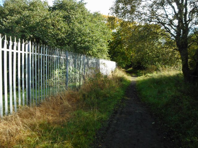
Image: © Richard Sutcliffe Taken: 29 Sep 2020
An image to replicate the first submitted for this square in 2005 Image It's not exactly the same spot, but very close. The University of Strathclyde's Stepps Playing Fields are on the other side of the fence.
Images are licensed for reuse under creativecommons.org/licenses/by-sa/2.0
Image Location
Latitude
55.88083
Longitude
-4.156443