Woodland path
Introduction
The photograph on this page of Woodland path by philandju as part of the Geograph project.
The Geograph project started in 2005 with the aim of publishing, organising and preserving representative images for every square kilometre of Great Britain, Ireland and the Isle of Man.

There are currently over 7.5m images from over 14,400 individuals and you can help contribute to the project by visiting https://www.geograph.org.uk
Woodland path
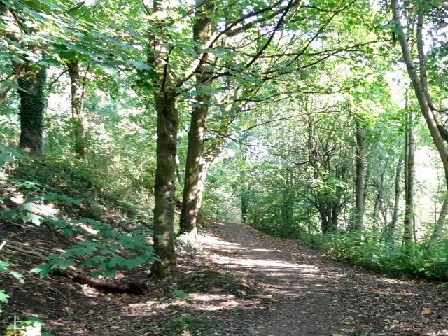
Image: © philandju Taken: 21 Sep 2020
Running alongside Folly Brook off Longsight Lane. The brook joins the larger Bradshaw Brook a little further downstream at Bottom o' th' Moor.
Images are licensed for reuse under creativecommons.org/licenses/by-sa/2.0
Image Location
Latitude
53.598967
Longitude
-2.394494