Haverhill (North) railway station (site), Suffolk
Introduction
The photograph on this page of Haverhill (North) railway station (site), Suffolk by Nigel Thompson as part of the Geograph project.
The Geograph project started in 2005 with the aim of publishing, organising and preserving representative images for every square kilometre of Great Britain, Ireland and the Isle of Man.

There are currently over 7.5m images from over 14,400 individuals and you can help contribute to the project by visiting https://www.geograph.org.uk
Haverhill (North) railway station (site), Suffolk
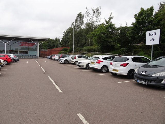
Image: © Nigel Thompson Taken: 3 Sep 2020
Opened in 1865 by the Great Eastern Railway on the line from Marks Tey to Cambridge, this station closed in 1967. Between 1923 and 1952, it was known as "Haverhill North" station. View north west towards Bartlow and Cambridge from what would once have once been the west-bound platform. As can be seen, the site has been totally redeveloped since Image and Image were taken, looking in the opposite direction. For more information, see http://www.disused-stations.org.uk/h/haverhill/index.shtml
Images are licensed for reuse under creativecommons.org/licenses/by-sa/2.0
Image Location
Latitude
52.08538
Longitude
0.4393