Ruined tower, Inverugie Castle
Introduction
The photograph on this page of Ruined tower, Inverugie Castle by JThomas as part of the Geograph project.
The Geograph project started in 2005 with the aim of publishing, organising and preserving representative images for every square kilometre of Great Britain, Ireland and the Isle of Man.

There are currently over 7.5m images from over 14,400 individuals and you can help contribute to the project by visiting https://www.geograph.org.uk
Ruined tower, Inverugie Castle
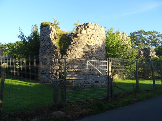
Image: © JThomas Taken: 24 Aug 2020
Inverugie Castle is a ruined tower house with two ruined towers, dating from the late 16th or early 17th centuries.
Images are licensed for reuse under creativecommons.org/licenses/by-sa/2.0
Image Location
Latitude
57.524659
Longitude
-1.831015