Farmland meets forest
Introduction
The photograph on this page of Farmland meets forest by Graham Cole as part of the Geograph project.
The Geograph project started in 2005 with the aim of publishing, organising and preserving representative images for every square kilometre of Great Britain, Ireland and the Isle of Man.

There are currently over 7.5m images from over 14,400 individuals and you can help contribute to the project by visiting https://www.geograph.org.uk
Farmland meets forest
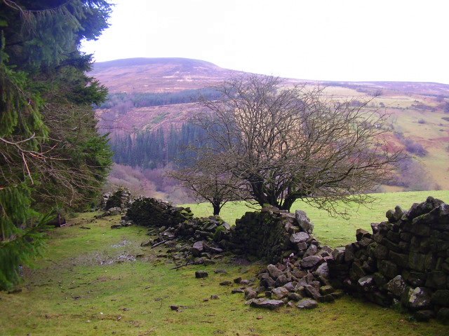
Image: © Graham Cole Taken: 16 Jan 2008
We are on a public footpath here, going past the boundary of an old-established hill farm where it meets a mature forest of fir trees managed by the Forestry Commission.
Images are licensed for reuse under creativecommons.org/licenses/by-sa/2.0
Image Location
Latitude
51.923743
Longitude
-3.083885