Lucas, Horsted Keynes
Introduction
The photograph on this page of Lucas, Horsted Keynes by Simon Carey as part of the Geograph project.
The Geograph project started in 2005 with the aim of publishing, organising and preserving representative images for every square kilometre of Great Britain, Ireland and the Isle of Man.

There are currently over 7.5m images from over 14,400 individuals and you can help contribute to the project by visiting https://www.geograph.org.uk
Lucas, Horsted Keynes
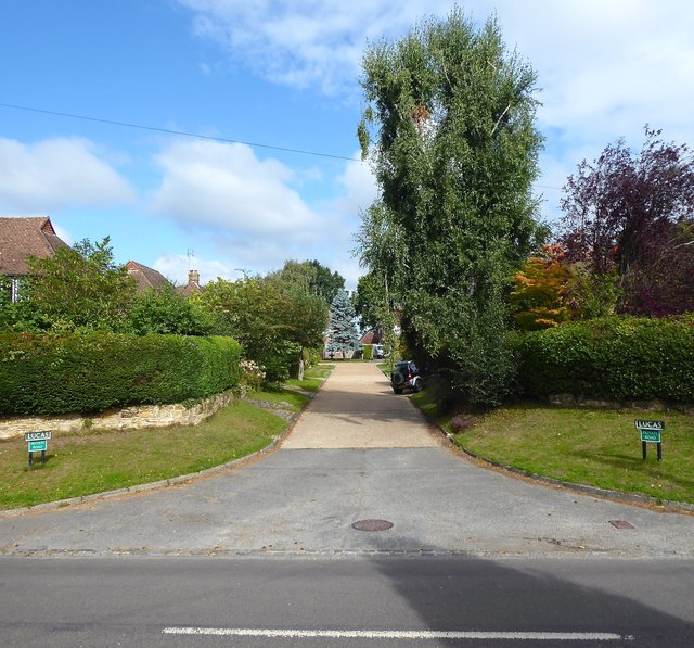
Image: © Simon Carey Taken: 30 Aug 2020
A small cul de sac off Birchgrove Road built in the 1950s in a former field called Inner Mead according to Horsted Keynes' 1840 tithe map.
Images are licensed for reuse under creativecommons.org/licenses/by-sa/2.0
Image Location
Latitude
51.036691
Longitude
-0.022724