Corn Mill Lock and Holdingham Mill
Introduction
The photograph on this page of Corn Mill Lock and Holdingham Mill by Christine Johnstone as part of the Geograph project.
The Geograph project started in 2005 with the aim of publishing, organising and preserving representative images for every square kilometre of Great Britain, Ireland and the Isle of Man.

There are currently over 7.5m images from over 14,400 individuals and you can help contribute to the project by visiting https://www.geograph.org.uk
Corn Mill Lock and Holdingham Mill
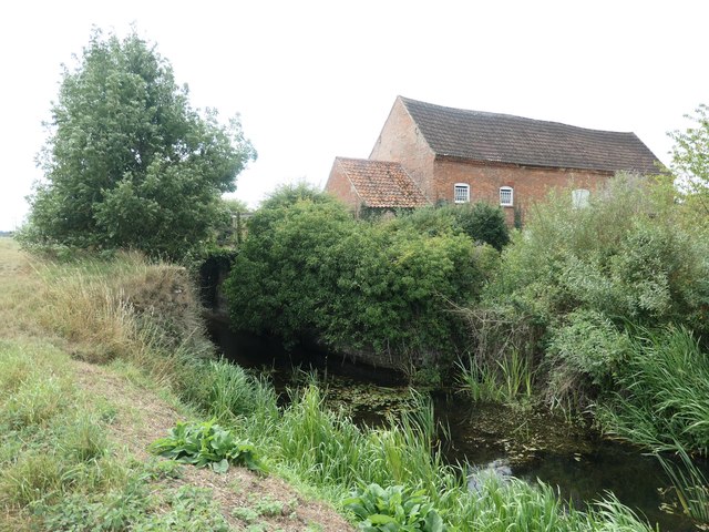
Image: © Christine Johnstone Taken: 14 Aug 2020
When the River Slea was made navigable in 1794, a lock was built next to the weir of each riverside watermill. The mill is Grade 2 listed.
Images are licensed for reuse under creativecommons.org/licenses/by-sa/2.0
Image Location
Latitude
53.017962
Longitude
-0.378213